
Trails in Nevegal
Between woods, pastures and views of the Dolomites, Nevegal offers almost 100 km of trekking and mountain biking trails. From family trails to hikes to Col Visentin (1,763 m), each season offers different experiences: spring blooms, summer views, autumn colours and winter snow itineraries.
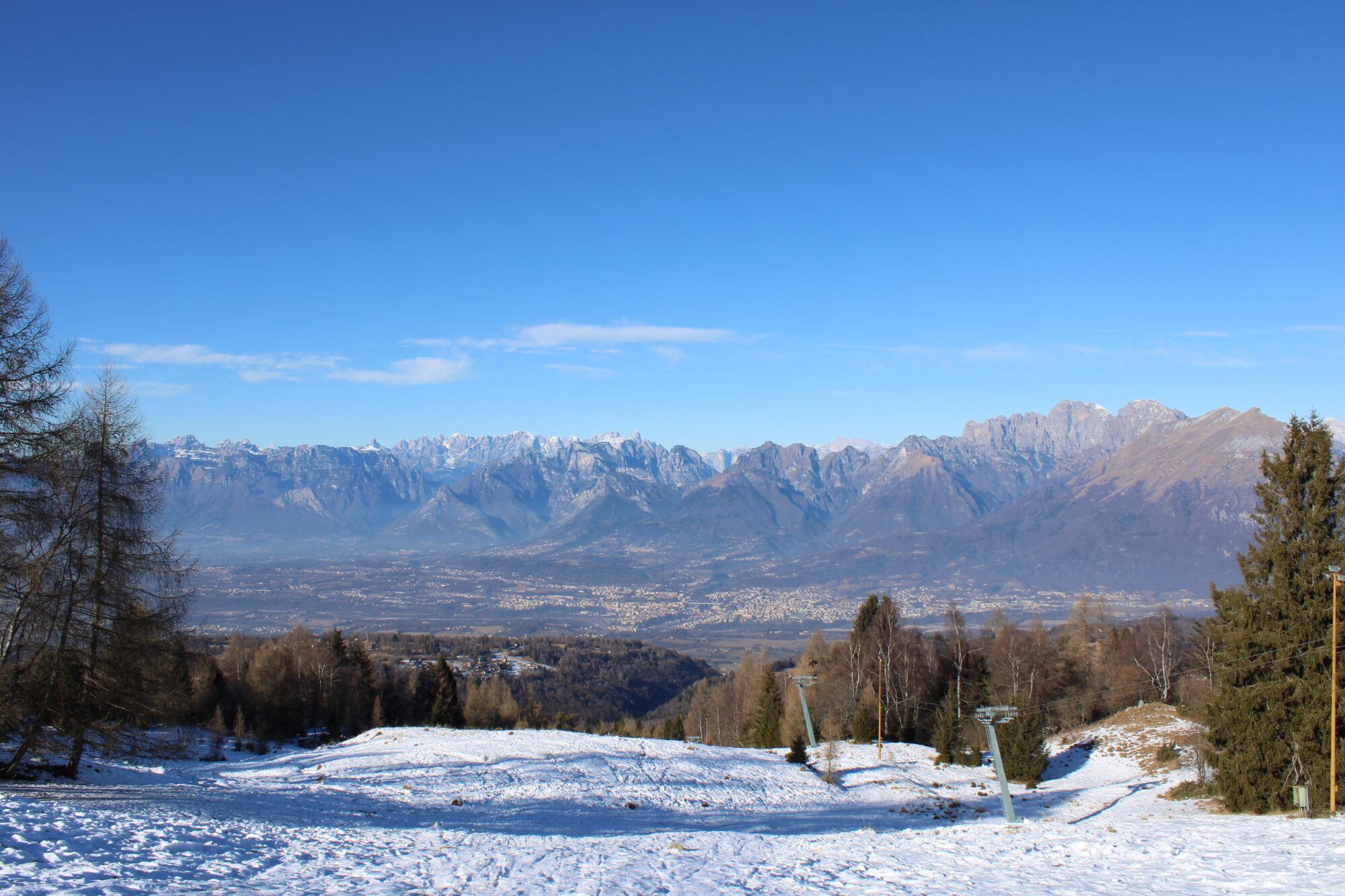
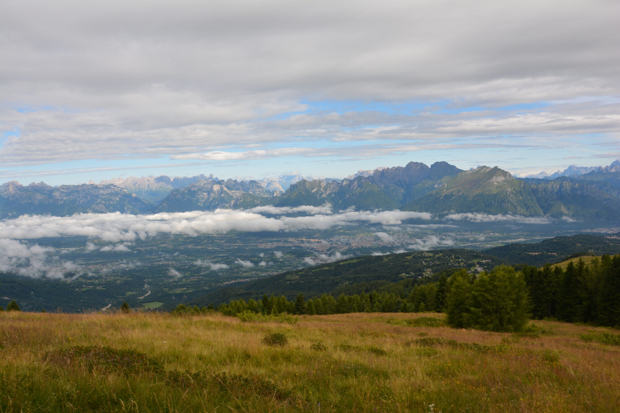
Discover the routes and choose the one that best suits you!
Trail 2000: Le Creste
- Difficulty: Medium
- Maximum altitude: 1763 m above sea level
- Travel time: –
- Departure: La Casera
- Arrival: Col Visentin (1763 m above sea level)
The starting point is at the bar restaurant “La Casera”. To the right of the cabin mentioned above, take the dirt road uphill. A few dozen meters further on, turn left, advance for another 30 m and then at the fork take a right: here will begin an uphill asphalt section which, after about 300 m, will present a very hard but short break (30% slope). At the end of the latter, you’ll encounter a challenging concrete section, approximately 500 m long; turn left onto the dirt road uphill, reaching a fork where you’ll need to keep left further towards Casera “Erte”. You travel approximately 250 metres until you laboriously reach the end of the ski lift “Col dei péz” (1270 m above sea level). After the right bend, pass behind it to the left, up to the ski slope “La Coca”: here, on the right, you climb the steep slope on foot for 150 metres on the grassy path until you intersect (after about 1.8 km) further on another path that cuts across the slope (1328 m above sea level). We then take the shaded mule track on the left, finally going downhill (be careful of pedestrians, proceed with caution!). Continue for 1.5 km until, after crossing another ski slope (“La Faverghera”), you return to the asphalted road (after 3.5 km) at a hairpin bend (1277 m above sea level). Here you have to turn right uphill, and at the crossroads take the right again towards Via Faverghera. Keep the main road until the junction with the signs “Orto Botanico-Casera” and follow the latter on the right, uphill, until you reach (after 6 km) the Bar-Ristorante “La Casera” (1400 m above sea level). Follow here the fast and irregular forest road that begins after the barrier, thus arriving after 10 minutes to a beautiful panoramic area. The Alpago basin, part of Lake Santa Croce and the Cansiglio plateau will be visible before you. Continuing for 300 metres you reach a fork: keep left and then continue on the main road until you first reach the Refuge “Cadore Alpine Brigade” (in about 50 minutes) and, then, the Refuge “A. Bristot” (1616 m above sea level). Continue left onto the panoramic dirt road that runs alongside the wide basin of “Busa de Càmp” and, after skirting the latter, you come slightly downhill (after about 10 km) at a sharp left curve (1610 m above sea level). If you want to continue, from this moment on the main road, you will reach the panoramic Col Visentìn (1763 m above sea level).
Trail 2001: Della Forestal
- Difficulty: Easy
- Maximum altitude: 1400 m above sea level
- Travel time: 1 hour and 20 minutes
- Departure: Villa Colmirano
- Arrival: Malga Col Toront (1400 m above sea level)
The route starts from Villa Colmirano (from Piazzale Nevegal towards Faverghera, m above sea level 1250). From here you take a path, easy and very beautiful in this case, mostly immersed in the woods and also suitable for families. A water spring is located 100 meters from the start, while along the way other paths with varying difficulty intersect. A ¾ of the route is the Casera Erte (rebuilt by the forestry services, open to the public). Continuing you reach the Col Toront mountain hut (1400 m above sea level), where the mountain pasture is located.
Trail 2002: La Grava – Costa Legner
- Difficulty: Easy
- Maximum altitude: 1763 m above sea level
- Travel time: 1 hour
- Departure: Piazzale Nevegal (1070 m above sea level)
- Arrival: Costa Legner
The route starts from the square in front of the Nevegal Ski School (1070 m above sea level). From here you continue to the dirt road to the refreshment area “La Grava”, where you can taste some typical local products. Our trail continues to Costa Legner via the fire road.
Trail 2003: La Casera
- Difficulty: Easy
- Maximum altitude: 1395 m above sea level
- Travel time: 1 hour and
- Departure: Piazzale Nevegal (1070 m above sea level)
- Arrival: La Casera
Trail 2005: De la Coca
- Difficulty: Medium/suitable for trained people
- Maximum altitude: 1611 m above sea level
- Travel time: 1 hour and 30 minutes
- Departure: Piazzale Nevegal (1070 m above sea level)
- Arrival: Cadore Alpine Brigade Refuge / Bristot Refuge
The route starts from the Piazzale Nevegal (1070 m above sea level), from where it is possible to follow the route of the Coca track thus arriving at the crest of Mount Faverghera (1611 m above sea level) and then at the Rifugio Brigata Alpina Cadore or arrive at the Rifugio Bristot.
Trail 2008: Costa dei Pin
- Difficulty: Easy
- Maximum altitude: 1200/1400 m above sea level
- Travel time: –
- Departure: Piazzale Nevegal (1070 m above sea level)
- Arrival: Return to the Piazzale / Col Vistentin (1763 m above sea level)
The circular route starts from the square in front of the Nevegal Ski School (1070 m above sea level), from which you continue along a dirt road to the refreshment area “La Grava”. Once you get here, continue for another 100 meters and then turn right onto a forest road, thus reaching a fork in the road. At this point you continue into the woods and cross a small wooden bridge until you reach a lookout point with a table and bench for refreshment. Continuing you reach a scree slope and then back into the forest in a slope you descend, crossing three valleys in this way: the Busa del Camp, the Fossa Granda and the Fossa Piccola. Once you reach a fork, you can go up on the left to Col Visentin (1763 m above sea level), while on the right you continue for about 300 metres and find another junction: turn left onto Path 1 or continue straight on Paths 10 and 11, thus returning to the start.